
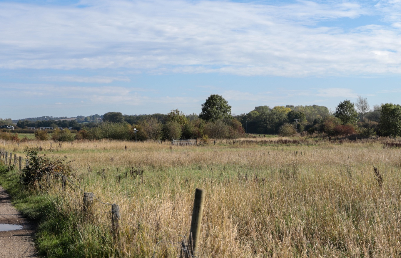
Stand on the plateau east of Bennerley Viaduct and the view is expansive.
The land rolls gently before falling away toward the River Erewash. Footpaths cross open ground. The viaduct cuts a delicate industrial silhouette across the valley. Beyond it, the land opens again.
It is this plateau – not the floodplain below – that would carry the proposed employment park.
The Environmental Statement acknowledges that the development would alter this landscape. In its own summary, the applicant identifies “major to moderate adverse” effects on landscape character in some areas and confirms that certain public rights of way users would experience significant visual effects.
At full parameters, the development allows for buildings up to 25 metres high – taller than the 18-metre Bennerley Viaduct – and potentially spanning 10 football pitches in a single unit. Even the “shortest” proposed units would reach 15 metres. By comparison, IKEA at Giltbrook stands at around 10 metres. On raised plateau land overlooking the floodplain, that scale would be visible across a wide area.
That language is important. It is not campaign rhetoric. It is the applicant’s assessment.
The proposed buildings could reach up to 25 metres in height. From a distance, that may read as a low skyline. From nearby footpaths, it is a different experience. The visual modelling identifies stronger effects within roughly 250 to 350 metres of the site boundary, particularly where walkers currently cross open ground.
The mitigation strategy is extensive. Thousands of trees and shrubs are proposed. Woodland belts would be planted around the employment plateau. Meadow and wetland habitat would be established in the valley floor. The aim is not to conceal the development entirely, but to soften it over time.
Time is the operative word.
Tree planting at this scale does not provide instant screening. The Environmental Statement assesses effects both in the year of opening and 15 years later, when planting would have matured. In some viewpoints, the development remains significant even at Year 15, albeit reduced in magnitude.
The floodplain land west of the plateau is treated differently. There, a full application proposes a 24-hectare country park, with meadow planting, wetland creation and new walking routes.
The logic is spatial. The higher plateau becomes employment land. The lower, more flood-prone ground becomes public green space.
From a planning perspective, it is a structured masterplan. From a landscape perspective, it is a rebalancing of use: built form above, open parkland below.
Heritage considerations are woven into the assessment. The site sits within a corridor shaped by industrial history – collieries, railways, canals. The applicant argues that the new development would sit within that broader industrial narrative. Others may view the plateau’s current openness as part of the viaduct’s setting, where sky and land still dominate.
These are not easily reconciled positions. Landscape impact is rarely binary. It is felt differently depending on proximity, viewpoint and attachment to place.
The Environmental Statement does not suggest that there would be no change. It suggests that change can be mitigated and, in planning terms, justified.
For councillors, the question is whether that mitigation is sufficient. For residents, it may be simpler: whether the horizon they know is one they are willing to see reshaped.
In the final part of this series, Ilkeston News will look at transport, traffic and air quality – the impacts less visible from a distance, but potentially felt daily along the A610 corridor.

One Comment
Wow 25 metres high. However, it may be worth bearing in mind that at New Stanton Park near Stanton by Dale and Kirk Hallam this was initially just over 20 metres but that was recently abandoned without remorse to increase that allowance to 60 metres (almost 200ft) – for just 55 extra jobs – that what is stated isn’t necessarily what, in the annals of time, may transpire.